Tropical Storm Risk (TSR)

TSR logo
HOME | STORM TRACKER | FORECASTS | SKILL | ABOUT | PRESS | PUBLICATIONS | STAFF | POSTS | LINKS
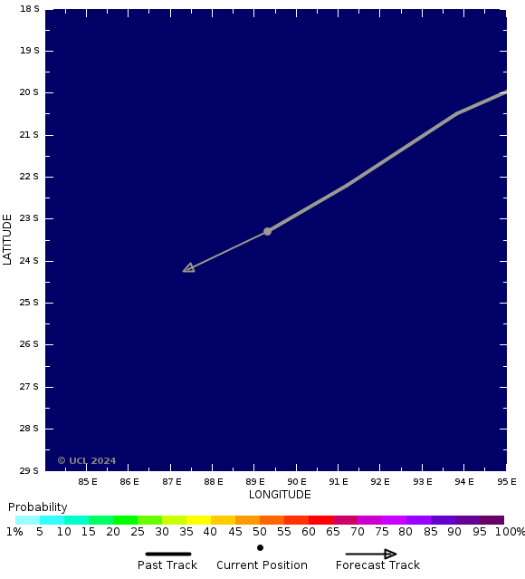
Tropical Storm NEVILLE: Current probability of Cat 1 or above winds

Storm Tracker Map
Current Satellite Images
RegionImage Type
Atlantic IRVisible
Atlantic WVIR En
NE Pacific IRVisible
NW Pacific IRWV
Indian Ocean IRVisible
W Australia IRWV
E Australia IRWV
SW Pacific IRWV
Probability Scale
Chance of HappeningValue Chance of HappeningValue
Extremely Low10% Medium-High60%
Very Low20%High 70%
Low30%Very High 80%
Medium-Low40% Extremely High90%
Medium50%Certain 100%
Note that all probabilities refer to the occurrence of 1-min sustained wind speeds.
*Note that the windspeed scale used here is the Saffir-Simpson hurricane wind scale. This differs from wind scales used by regional agencies other than the National Hurricane Center. The category applied to a storm on this site may differ from the category applied by an official regional meteorological agency.

Back To

NEVILLE main page

Email Registration

Storm Alerts and Seasonal Forecasts

Documents

Wind Probabilities
Prior Affected Area

Tropical Storm Wind Probabilities

Current
To 12 hours lead

Cat 1 or Above Wind Probabilities

Current
To 12 hours lead

Point Zooms

0 hours lead
12 hours lead

Prior Wind Affected Areas

Click Here


Researched and Developed by Mark Saunders, Frank Roberts and Adam Lea
TSR Version 4.1 Copyright © 2024 EuroTempest , London, UK
Last updated on 24 Mar, 2024 13:39 GMT TSR passes W3C HTML 4.01 Quality Assurance